Islands have an irresistible pull, and I visit and write about them often (and even live on one). Our planet has hundreds of thousands of islands; below are a few favourites that I’ve encountered in my travels.
7. Sardinia, Italy
Sardinia has it all: dramatic cliffs plunging into turquoise coves, ancient history etched into the land, and a fiercely proud culture reflected in dishes found nowhere else in Italy. However long you stay on your first trip, it won’t be enough: you’ll already be planning your return before you leave. The island’s past, shaped by Phoenicians, Romans, and Spaniards, lend it a depth and diversity that makes every town feel unique.
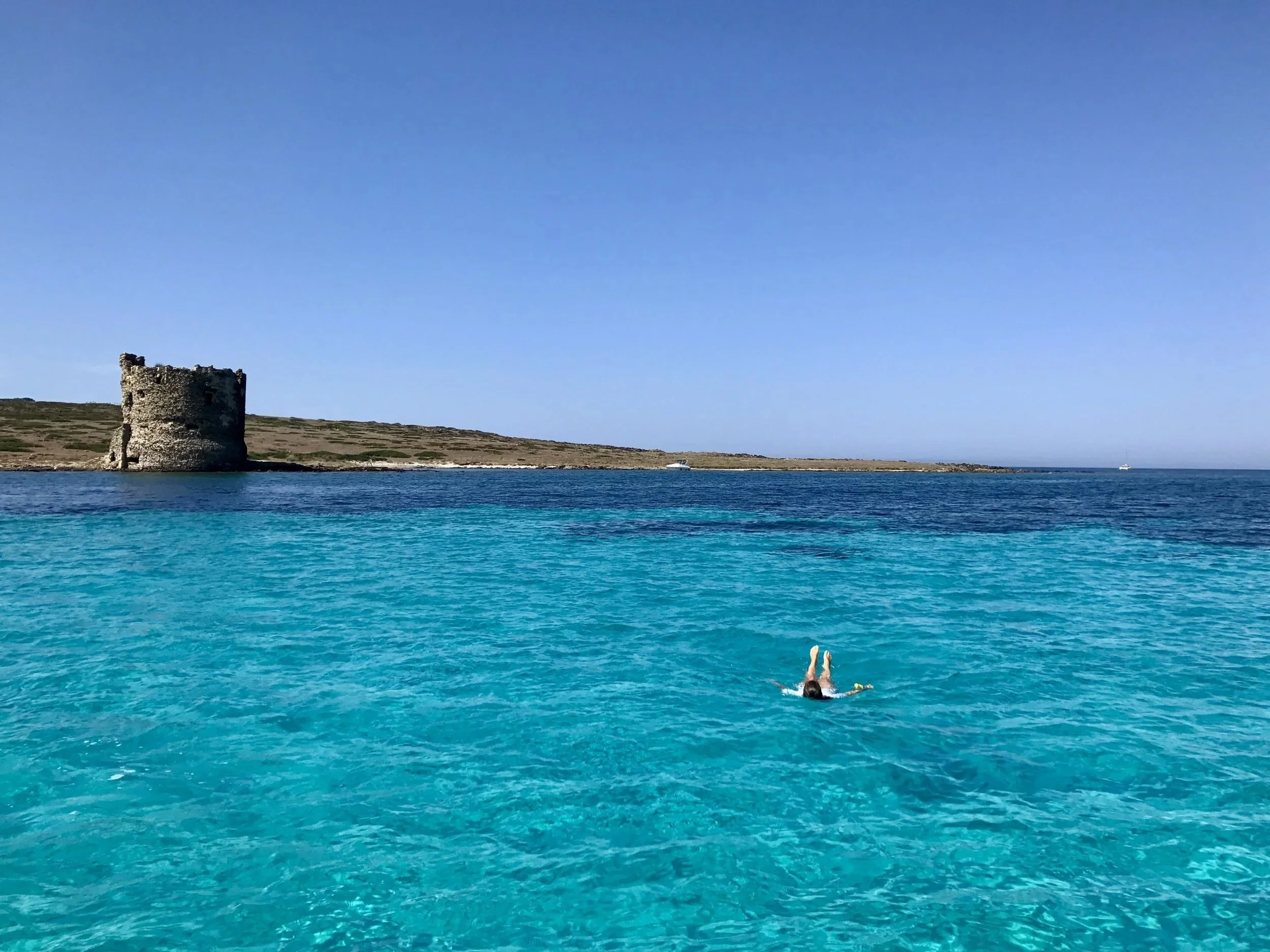
Floating off the coast of Sardinia, Italy
Read more about Sardinia here. And if you like Sardinia, you’ll also enjoy Cape Verde and St Lucia.
6. Isabela, Galapagos, Ecuador
Choosing just one Galapagos island feels unfair, but Isabela–the largest of the archipelago–captures the raw magic of the isles. Isabela is the only place on Earth where you can dive alongside marine iguanas, penguins, and sea lions at the same time. Thanks to its long-standing protected status, the wildlife here is unafraid and curious. It remains one of the most untouched and otherworldly places I’ve ever visited.
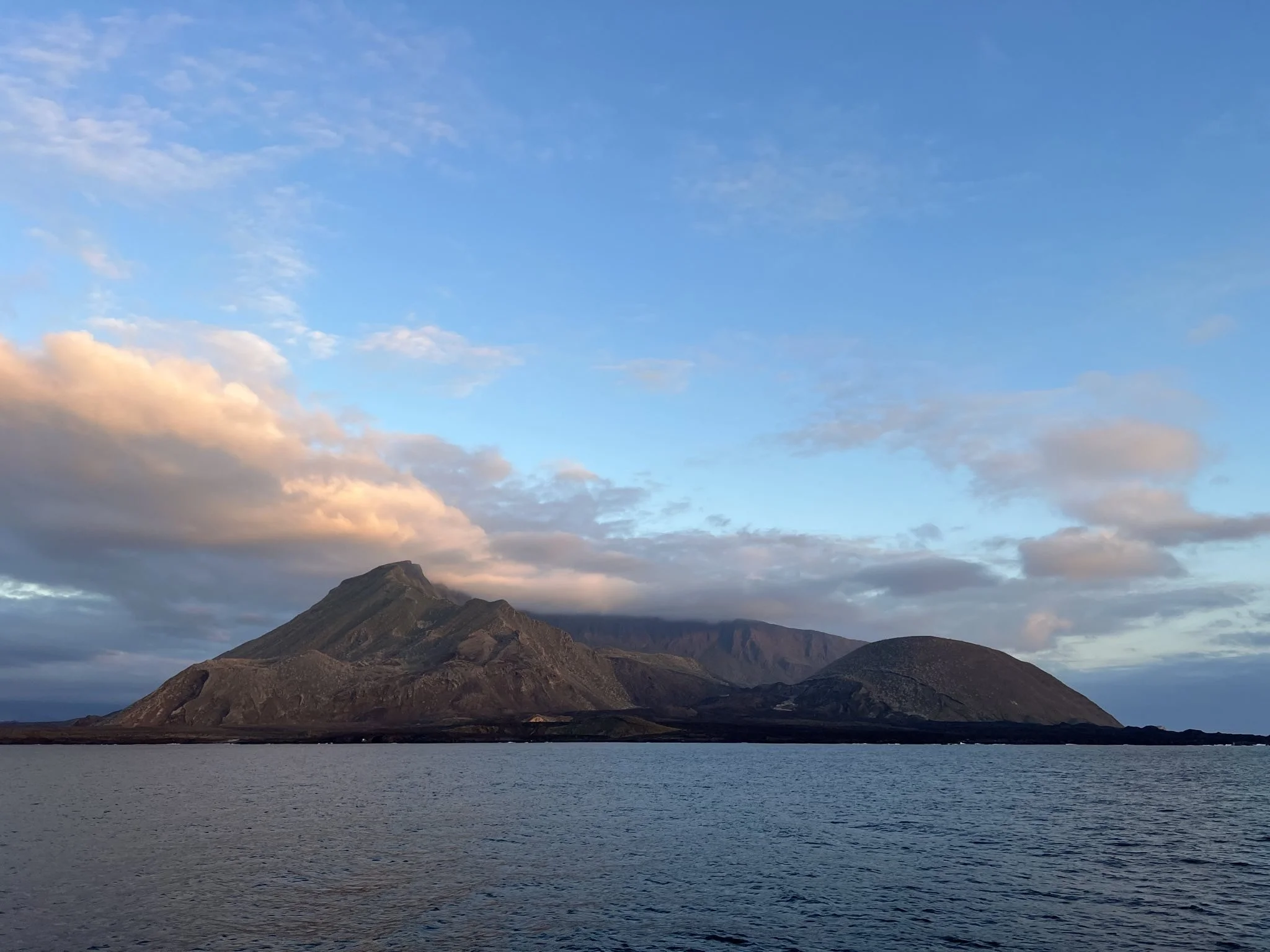
Off the coast of Isabela, Galapagos, Ecuador
If you like Isabela, you’ll also enjoy South Georgia and Easter Island.
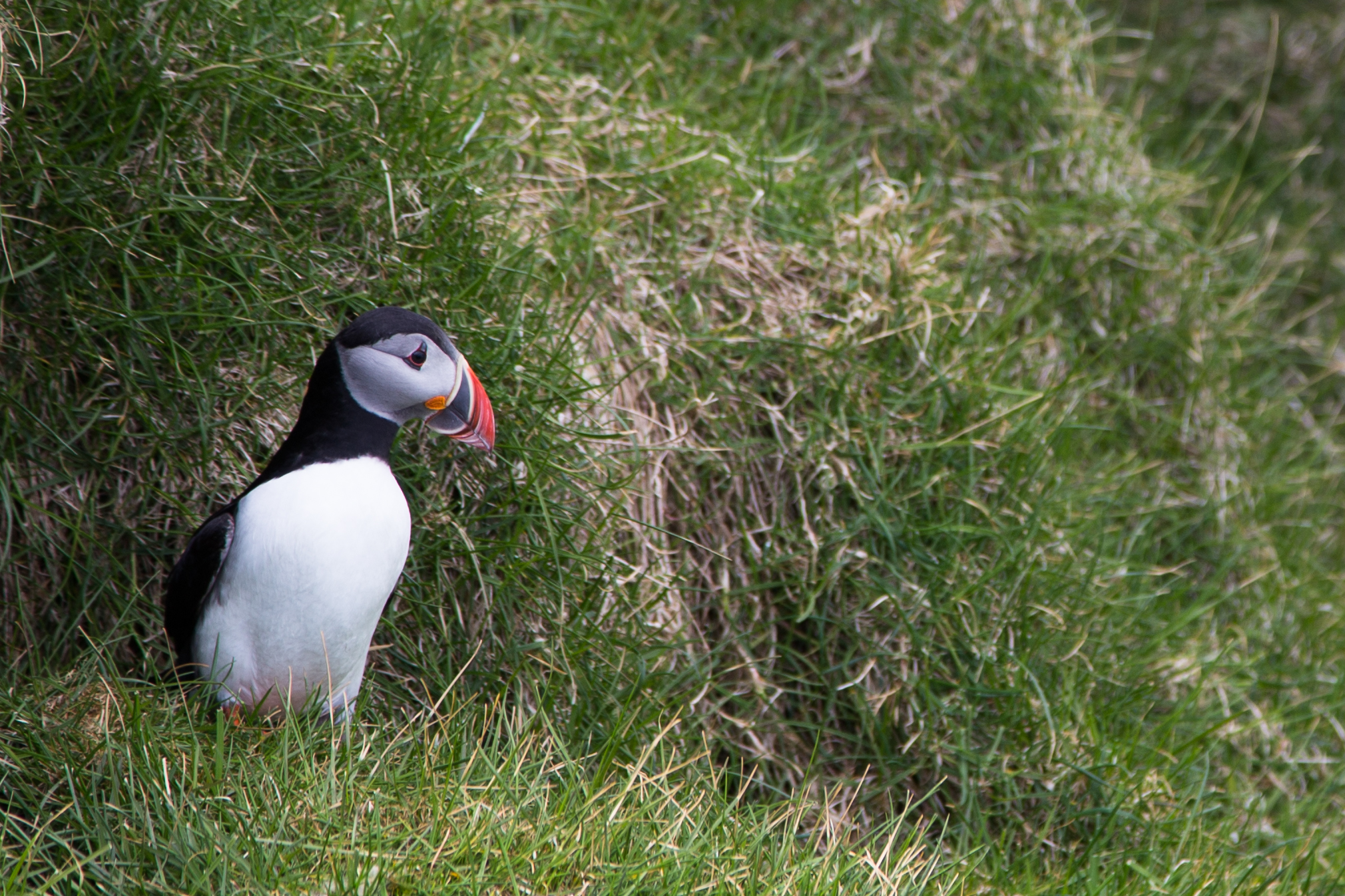
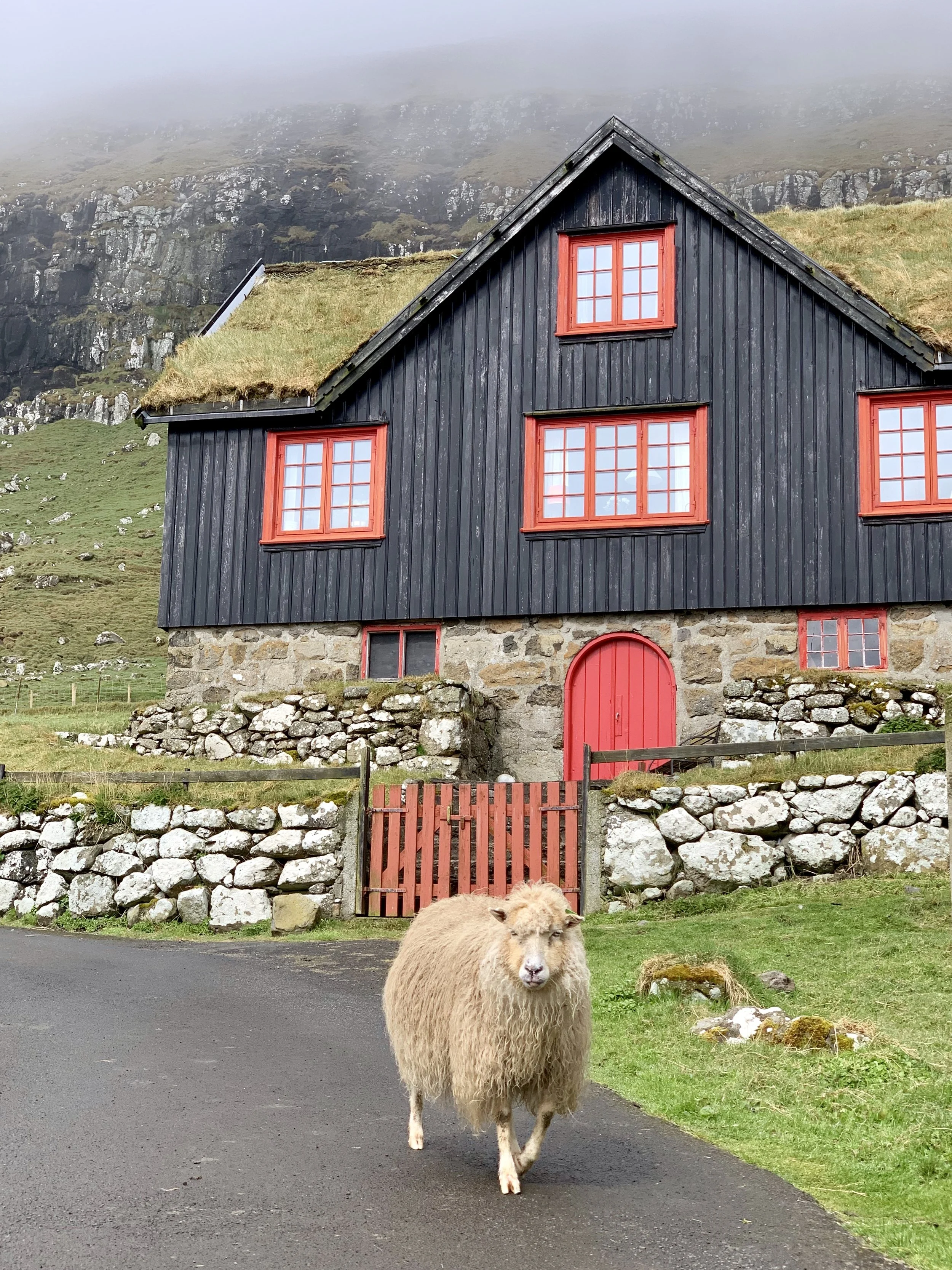
5. Faroe Islands
The Faroe Islands took me by surprise, charming me with their wild and unfiltered natural beauty, largely uninterrupted by humans. Puffins, gannets, and fulmars crowd cliff edges, waterfalls plunge straight into the ocean, and emerald-hued mountains shift constantly with whatever the ocean winds bring. Visit between May and October, when daylight stretches past midnight. Bring your hiking boots, and don’t miss booking a heimablidni (a home-cooked meal at a local’s house) for an authentic window into the Faroese culture and sustainable way of life.
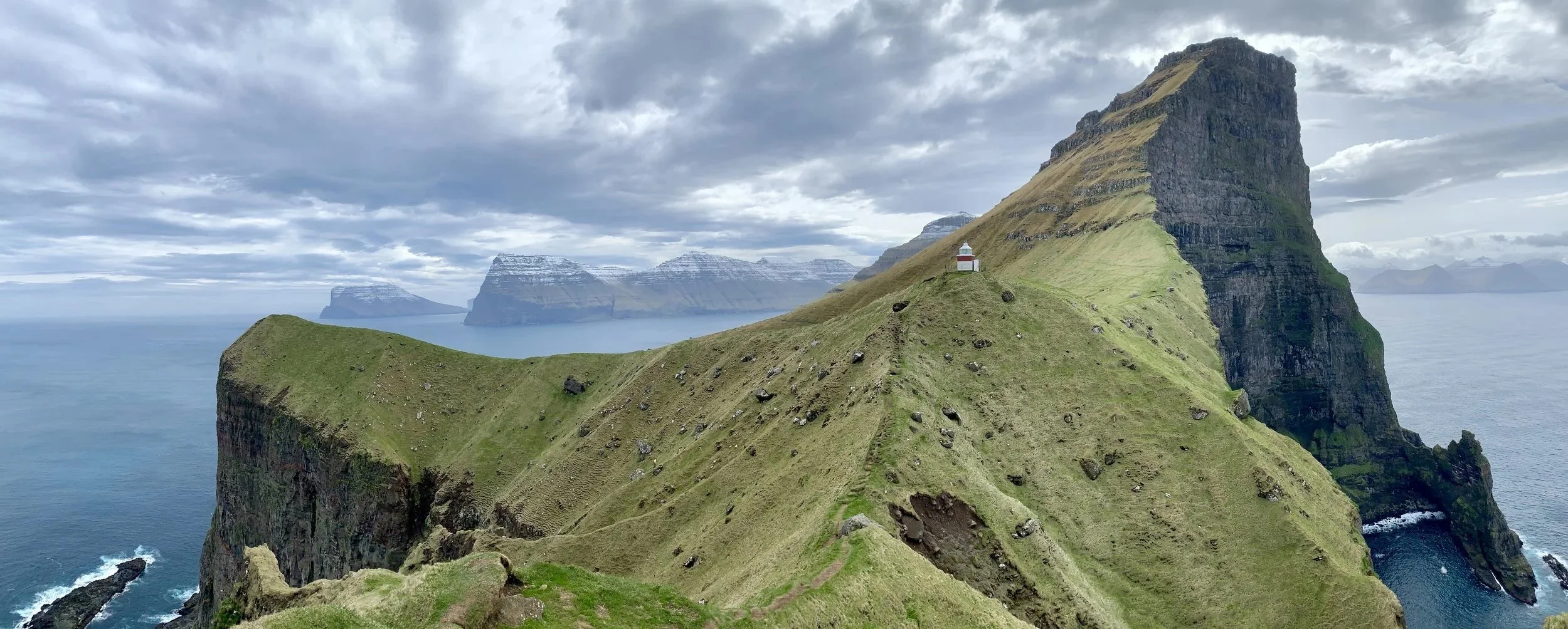
Hiking in the Faroe Islands
Read more about the Faroe Islands here. And if you like the Faroes, you’ll also enjoy Greenland and the Shetlands.
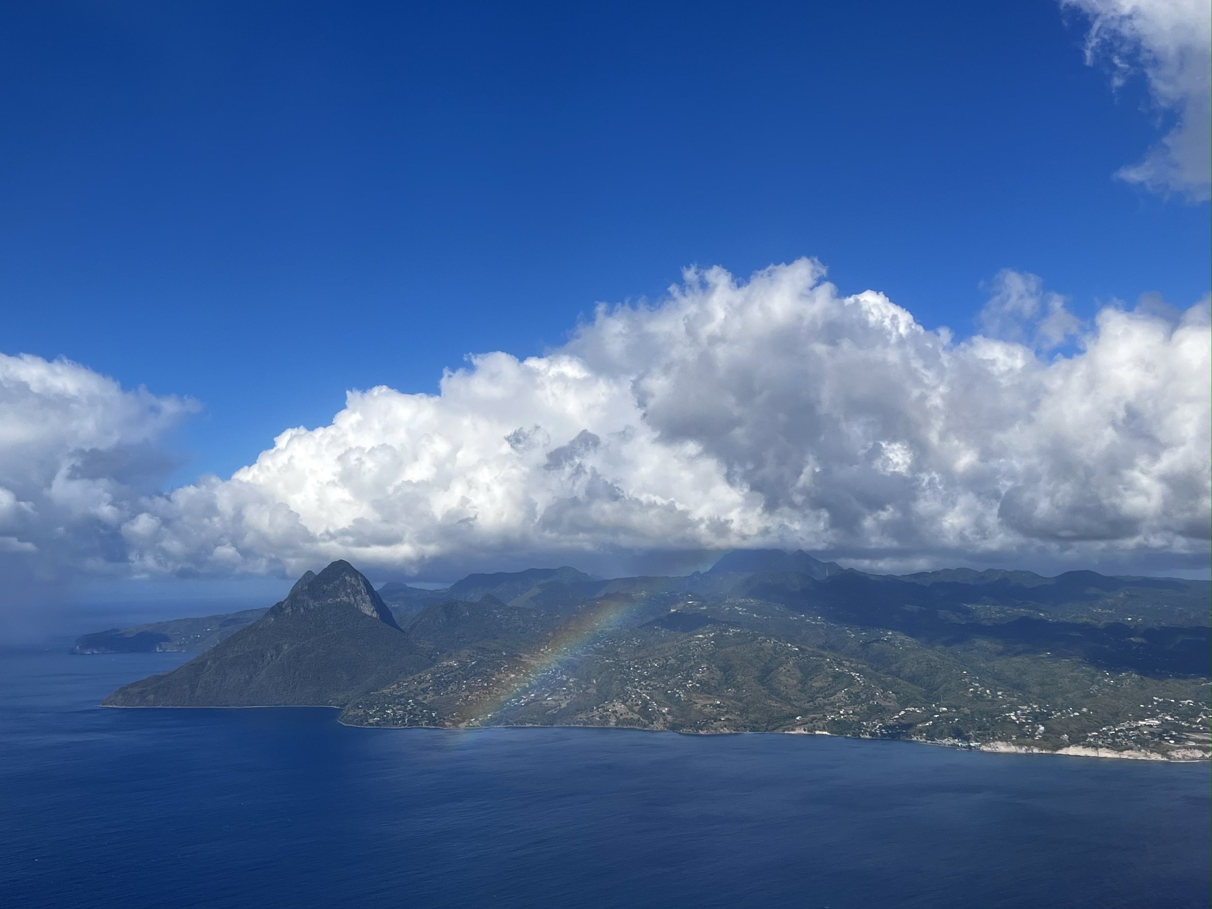
4. North and South Islands, New Zealand
I couldn’t choose just one of New Zealand’s islands–the country is spectacular from end to end. The North Island offers geothermal landscapes, glowworm caves lit like starfields, and rich Māori culture. The South Island brings soaring peaks, glaciers, and some of the best hikes in the world. Fresh salmon, lamb, and wine top off the experience. On many trails, you are unlikely to encounter more than a handful of other people, an increasing rarity in today’s world. Needless to say, I dream of returning.

South Island, New Zealand
Read more about New Zealand here and here. And if you like New Zealand, you’ll also enjoy the Faroe Islands and Niue.
3. South Georgia
South Georgia is one of the wildest places on the planet. Apart from a few seasonal researchers, the island is uninhabited by humans and dominated by wildlife. South Georgia is home to the world’s largest king penguin colony (as well as chinstrap, macaroni, and gentoo penguins) along with massive populations of elephant seals, fur seals, and albatross. The island’s history is equally dramatic: this is where Ernest Shackleton landed after his crew’s legendary survival journey across the Weddell Sea off Antarctica. Stepping onto the island feels like stepping into a nature documentary–sure to hear David Attenborough’s voice at any moment.
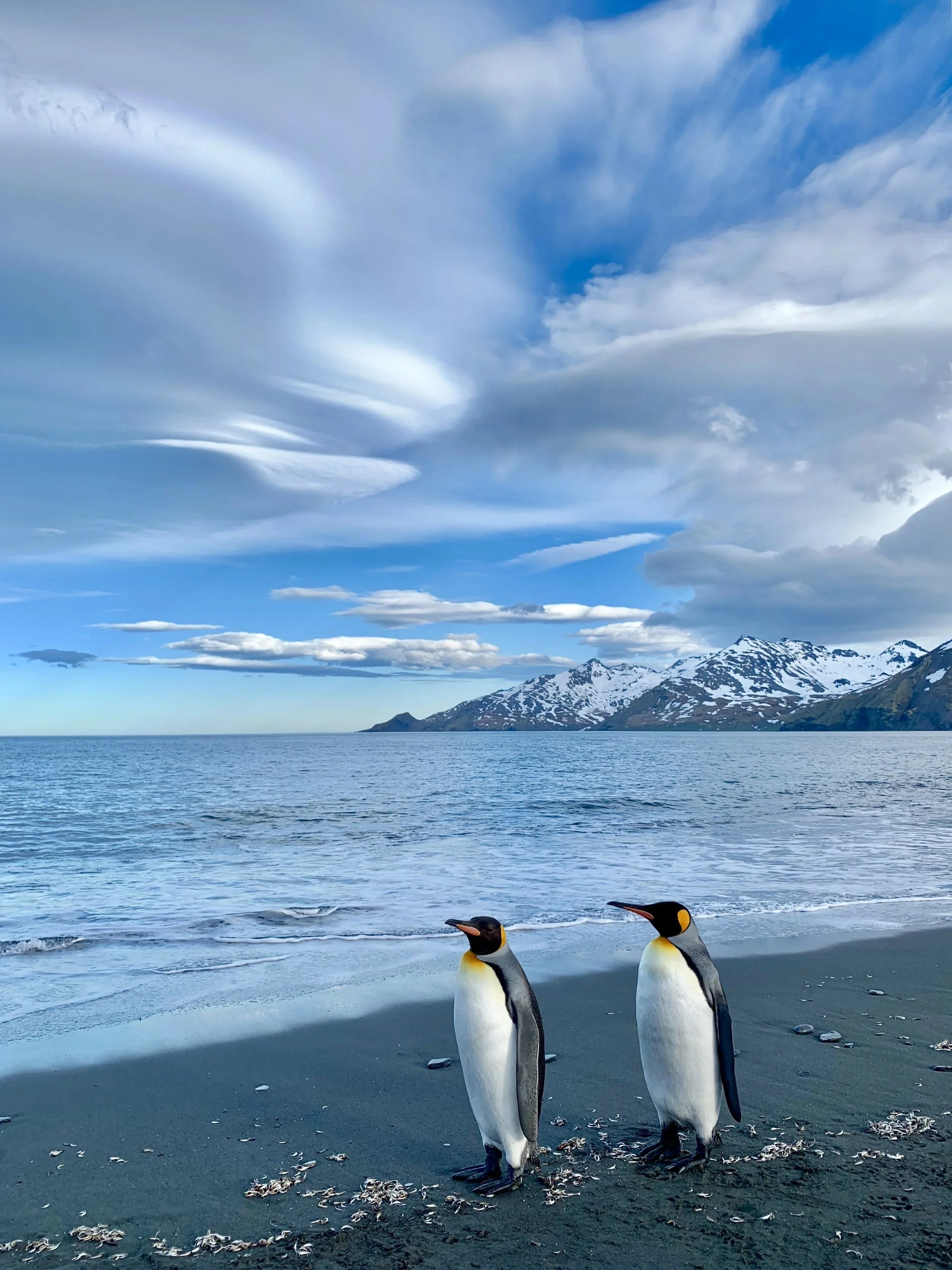
A couple of king penguins taking a stroll on South Georgia
Read more about South Georgia here. And if you like South Georgia, you’ll also enjoy the Falklands and Greenland.
2. Aldabra, Seychelles
Aldabra is so pristine that only a handful of researchers live here year-round. It’s one of the few places on Earth where giant tortoises roam freely in astonishing numbers. Coconut crabs scuttle across the forest floor, and the lagoon hosts a thriving underwater world almost untouched by humans. Endless white-sand flats stretch into shallow turquoise water as far as you can see. If there’s a heaven on Earth, Aldabra is close.
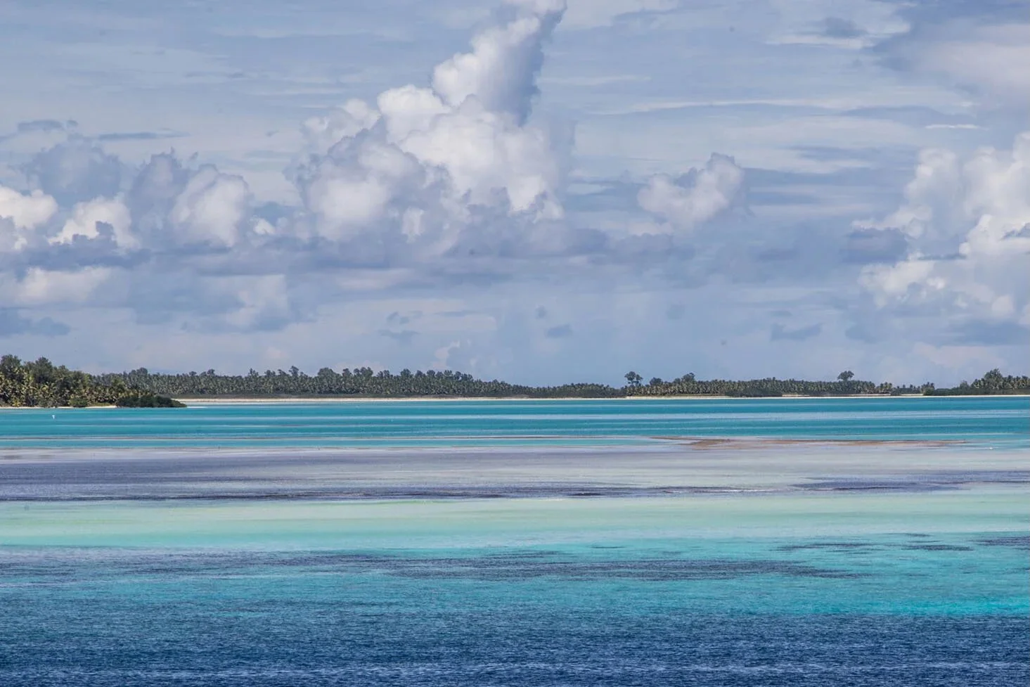
Endless hues of blue off Aldabra, Seychelles
Like South Georgia, Aldabra is uninhabited by humans with the exception of a few researchers from the Seychelles Island Foundation, formed to protect the local habitat. It is one of the only places in the world where you will encounter the giant tortoise, wandering alongside colourful coconut crabs and an underwater world teaming with life, largely unbothered by human interference. Impossibly long stretches of white sand disappear into aqua-hued shallow waters stretching into the horizon. If there is a heaven on Earth, this is it.
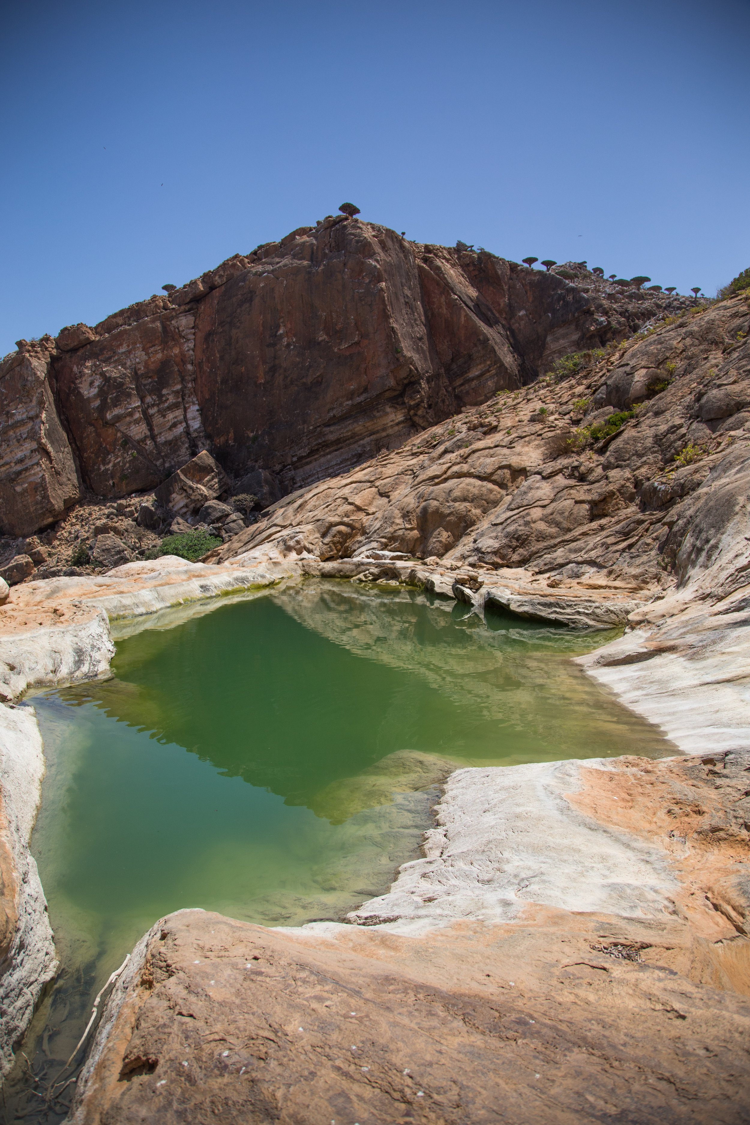
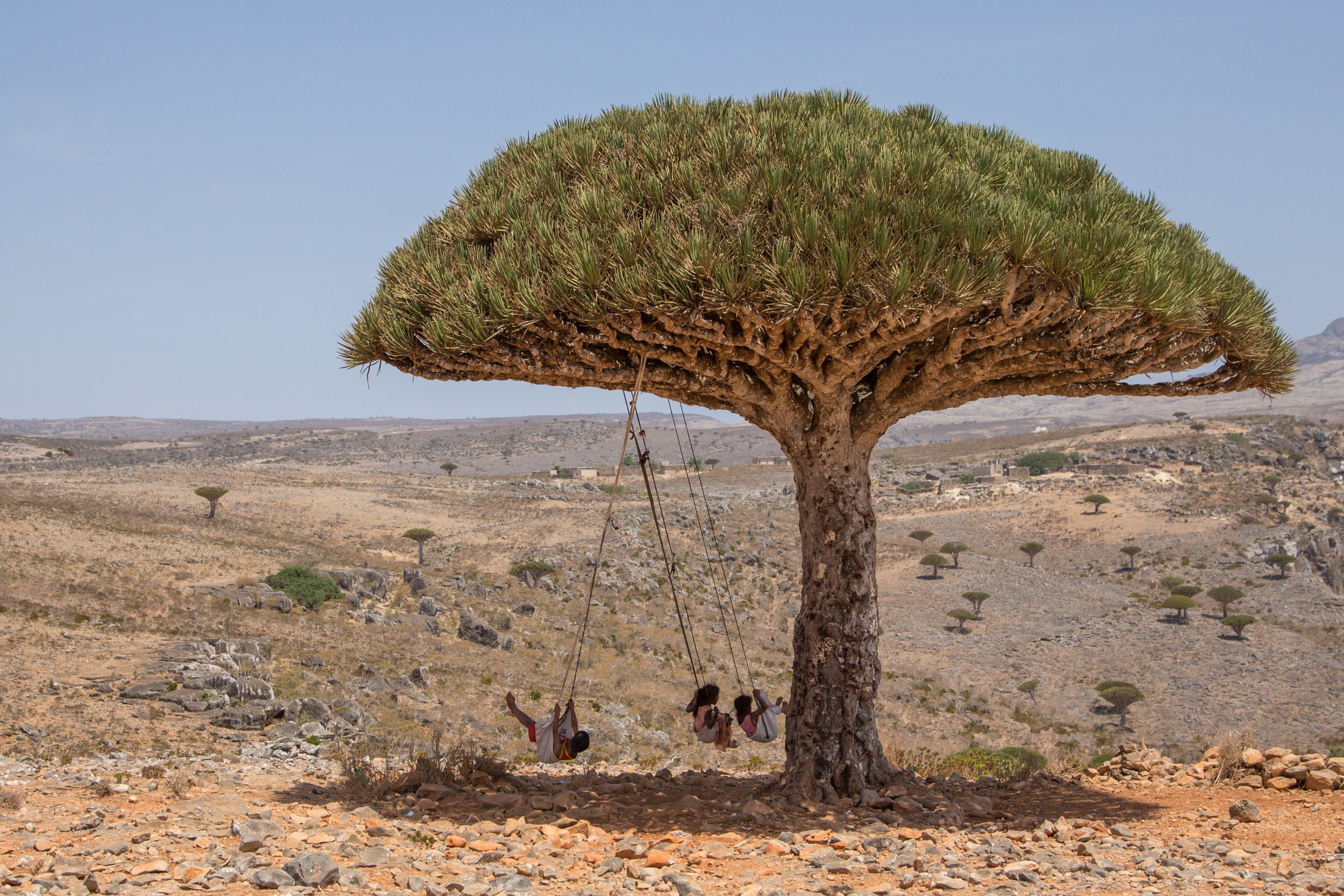
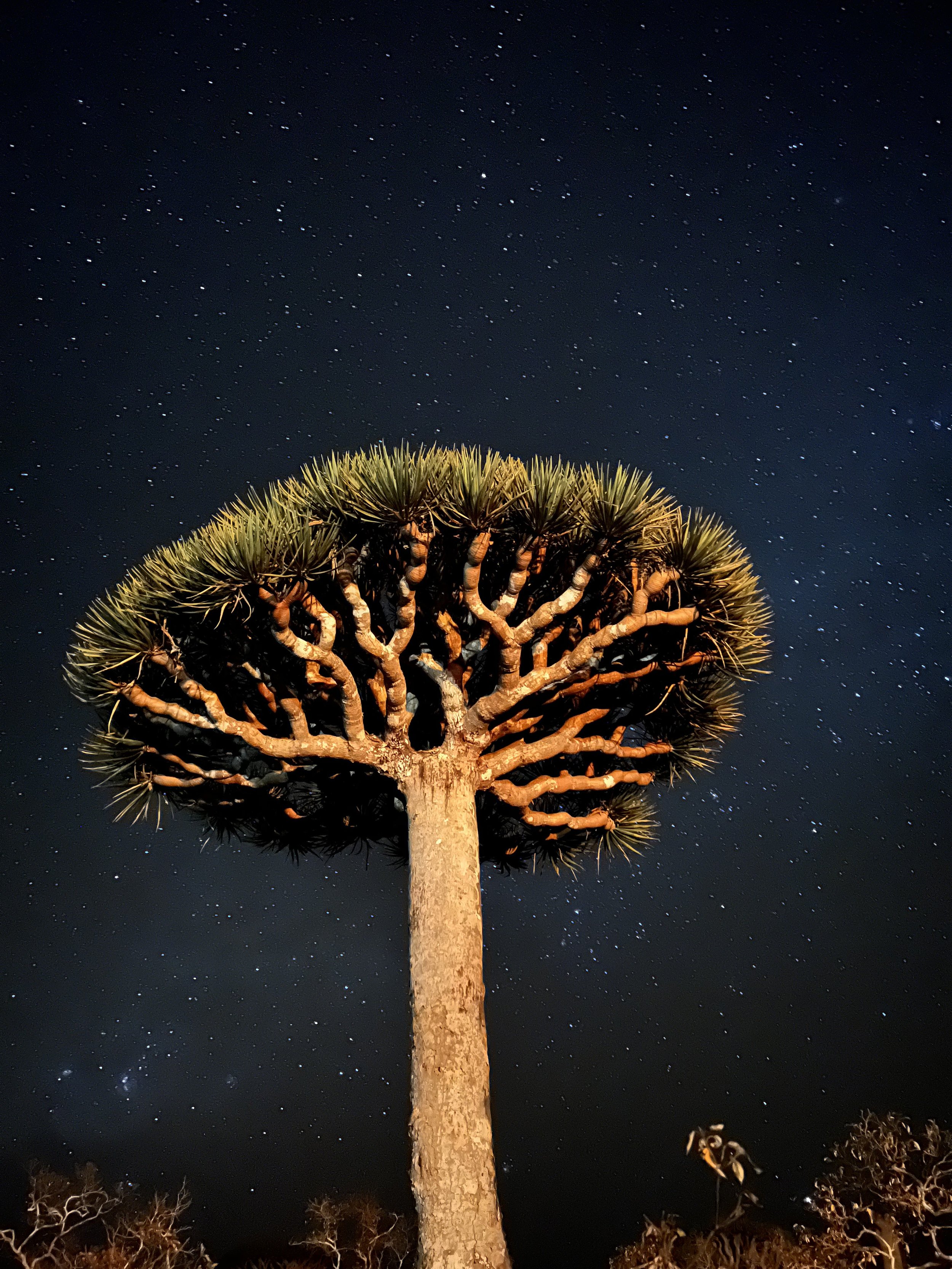
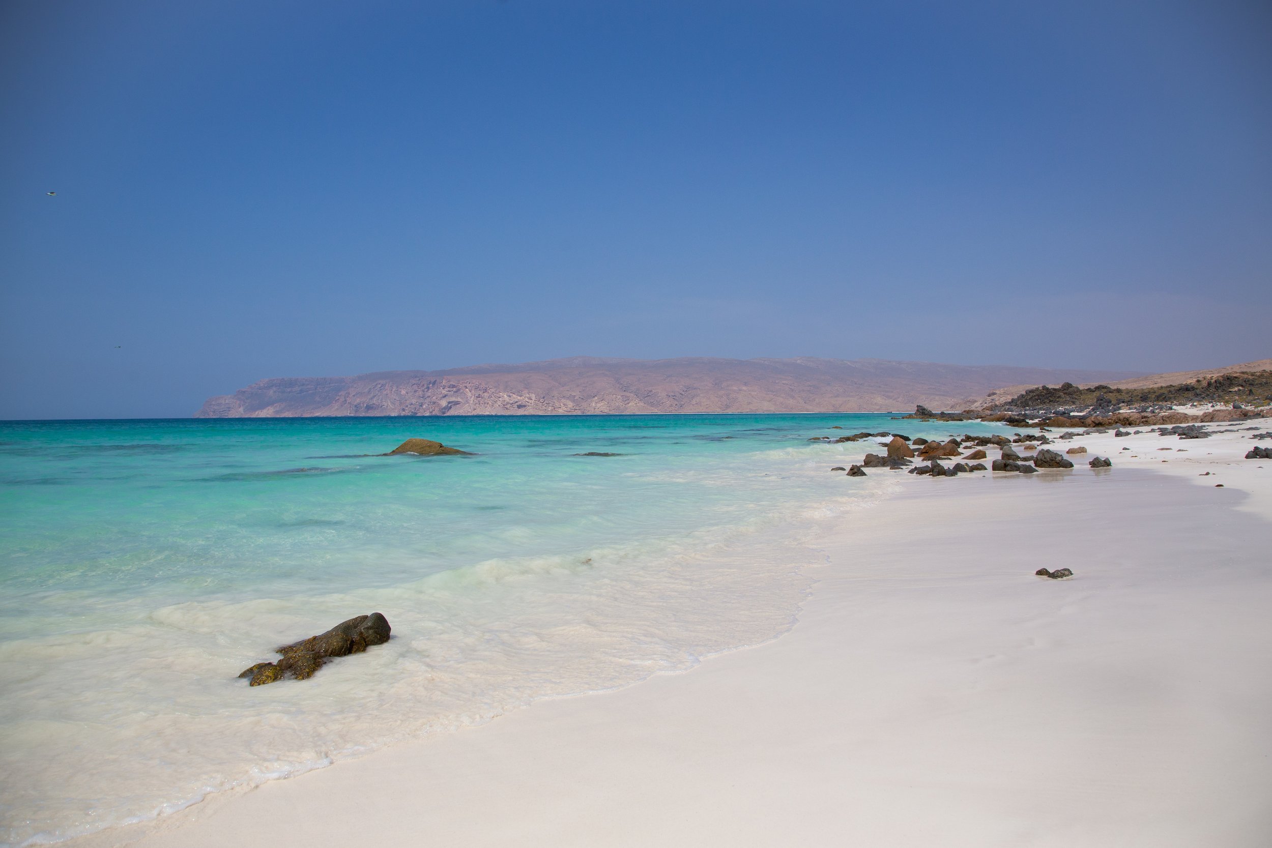
If you like Aldabra, you’ll also enjoy Millenium Atoll (Kiribati) and Socotra (Yemen).
1. Ikaria, Greece
Named after Icarus, who flew too close to the sun, Ikaria is rugged, mystical, and fiercely independent. I first came to study Greek at the island’s cultural center, then returned again and again to explore its mountain trails, thermal springs, secluded beaches, and villages where time seems to run slower. Its famous honey, wine, and olive oil are some of the best in Greece. At just 99 square miles (255 km²), Ikaria feels both intimate and endlessly explorable.
Ikaria, named after Icarus, who flew too close to the sun, is wild, rugged, fiercely self-sufficient, and breathtakingly beautiful. I’ve travelled there more times than I can count, first to study Greek at the Ikarian Cultural Center, and later to explore more of the island’s diverse topography - stunning mountain hikes, hot sulfur pools, and sandy beaches - all backed by rich local products, from olive oil to honey to wine. Ikaria is just 99 square miles (roughly 255km), and yet each time I visit, I discover even more to explore.
If you like Ikaria, you’ll also enjoy Sardinia and Miyakojima.
For more inspiration, check out my previous post on the Top 7 Beaches in the World.